


Special Tropical Weather Outlook
NWS National Hurricane Center Miami FL
725 AM EDT Wed May 27 2020
For the North Atlantic…Caribbean Sea and the Gulf of Mexico:
Special Tropical Weather Outlook issued to discuss the area of low pressure near the southeast U.S. coast.
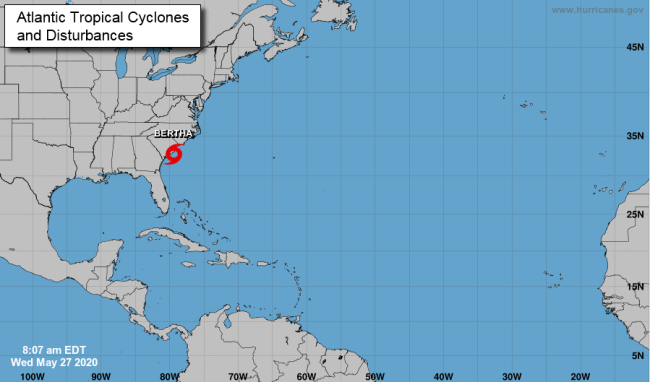
Radar imagery indicates that the area of disturbed weather located just offshore the South Carolina Coast has become significantly
better organized over the past few hours. Reports from an offshore buoy are showing that this system is producing tropical-storm-force winds. If these development trends continue, then this system is likely to become a tropical storm before it moves inland later today.
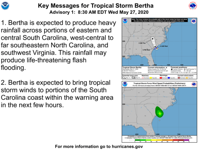
Heavy rainfall could cause flash flooding over portions of the Carolinas today. Gusty winds could also produce rough marine
conditions and life-threatening surf and rip currents along the coasts of Georgia and the Carolinas through today.
1. For additional information, see products from your local National Weather Service office. The next Special Tropical Weather Outlook on this system will be issued by 3PM EDT Wednesday, or earlier if necessary.
* Formation chance through 48 hours…high…70 percent.
* Formation chance through 5 days…high…70 percent.


